Electronics
GPS
How to use a GPS.
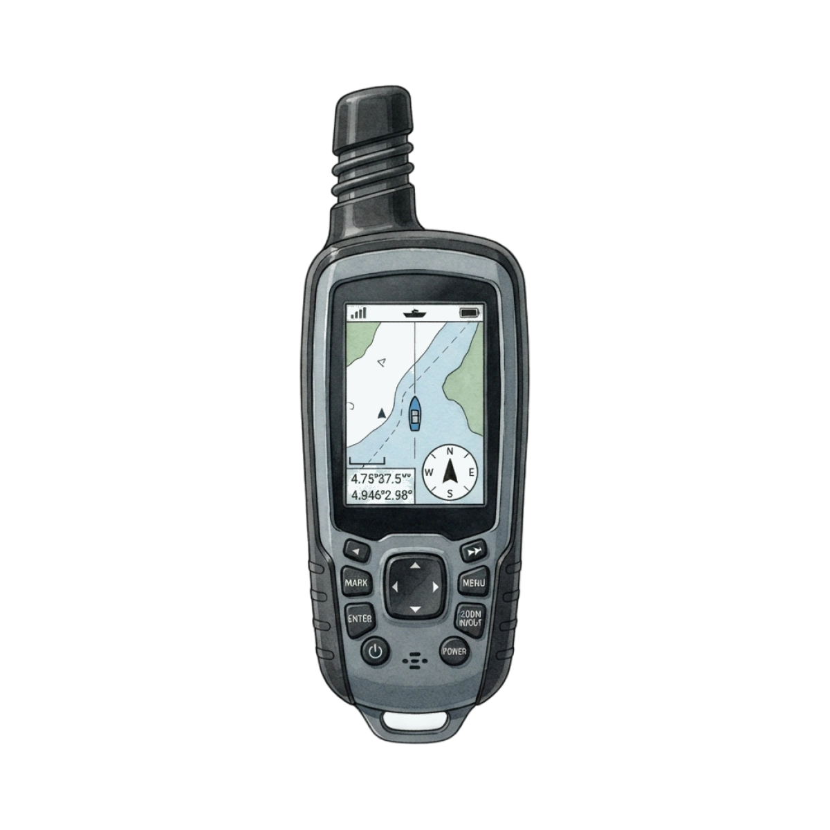
Screen
Displays map data and coordinates for navigating fishing spots.
Antenna
Receives satellite signals to establish accurate positioning on the water.
Buttons
Allows manual operation of menus and waypoint marking.
Housing
Durable waterproof casing protects internal electronics in marine environments.
What is a GPS used for?
A GPS marks waypoints, tracks a drift, and finds the ramp in fog. It may live in a phone or a dedicated unit.
How is a GPS different from similar gear?
Position, not sonar. A chartplotter adds the map; a finder adds the ping. GPS is the coordinates.
When should you use a GPS?
Use it to save a wreck, a creek mouth, or a trail back in the dark.
What problems does a GPS solve?
It takes you back to a mark you would never find twice by eye.