Fishing spot
Gave de Pau
Gave de Pau river flows through Landes, France, from the Pyrenees mountains at 338 m elevation. Water warms from 7.9 °C in January to 22.4 °C in July. Brown trout peak June–August on fly or spinning, European eel July–September on bottom or float fishing.

- Popularity
- Unpopular
- Difficulty
- Normal
- Rating
- —
Fishing Forecast

Today · 17:00
· Afternoon
Good 77
-
Air
-
Wind
-
Rain
-
 Clouds
100%
-
Water
-
Moon
-
Fish activity
Today 22/10
Tomorrow 23/10
Saturday 24/10
Sunday 25/10
Monday 26/10
Tuesday 27/10
Wednesday 28/10
Fishing score
Fish activity
Low HighWeather comfort
1 5Weather
 10 °C
 10 °C
 10 °C
 15 °C
 15 °C
 14 °C
 16 °C
 19 °C
 16 °C
 13 °C
Moon
Forecast by Open-Meteo
Best lures for Gave de Pau
Bring the following lures to this fishing spot for the best results.
-
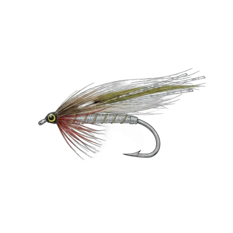
01
Best for 3 species
Streamer
- Brown trout
- Atlantic salmon
- Chub
A long fly that imitates baitfish and leeches.
-
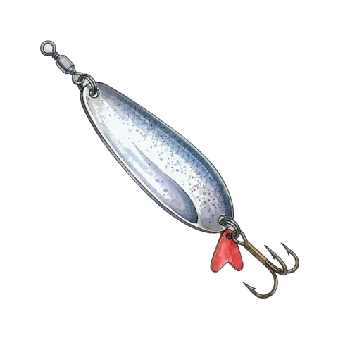
02
Best for 3 species
Spoon
- Brown trout
- Atlantic salmon
- Chub
A metal flutter bait for spinning, trolling, and ice.
-
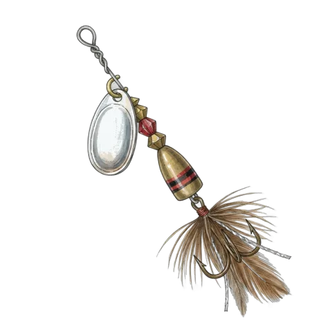
03
Best for 3 species
Inline spinner
- Brown trout
- Atlantic salmon
- Chub
An inline spinner with a blade that flashes on a straight retrieve.
How to fish Gave de Pau
Place, water, species, best hours, and the months that matter at this fishing spot.
Location
-
City
Landes -
Region
Nouvelle-Aquitaine -
Country
France -
Coordinates
43.5402, -1.0902
Best hours
-
Peak
Dawn
First light
-
Peak
Morning
After sunrise
-
Peak
Midday
High sun
-
Peak
Afternoon
Late day
-
Peak
Dusk
Last light
-
Peak
Night
After dark
Average water temperature
Climate data: Copernicus ERA5-Land and Copernicus Marine
When to fish
Fishing methods
- Float Fishing
- Bottom Fishing
- Fly Fishing
- Feeder Fishing
- Spinning
- Surfcasting


