Peak
Season
Peak and active months for that species at that spot.
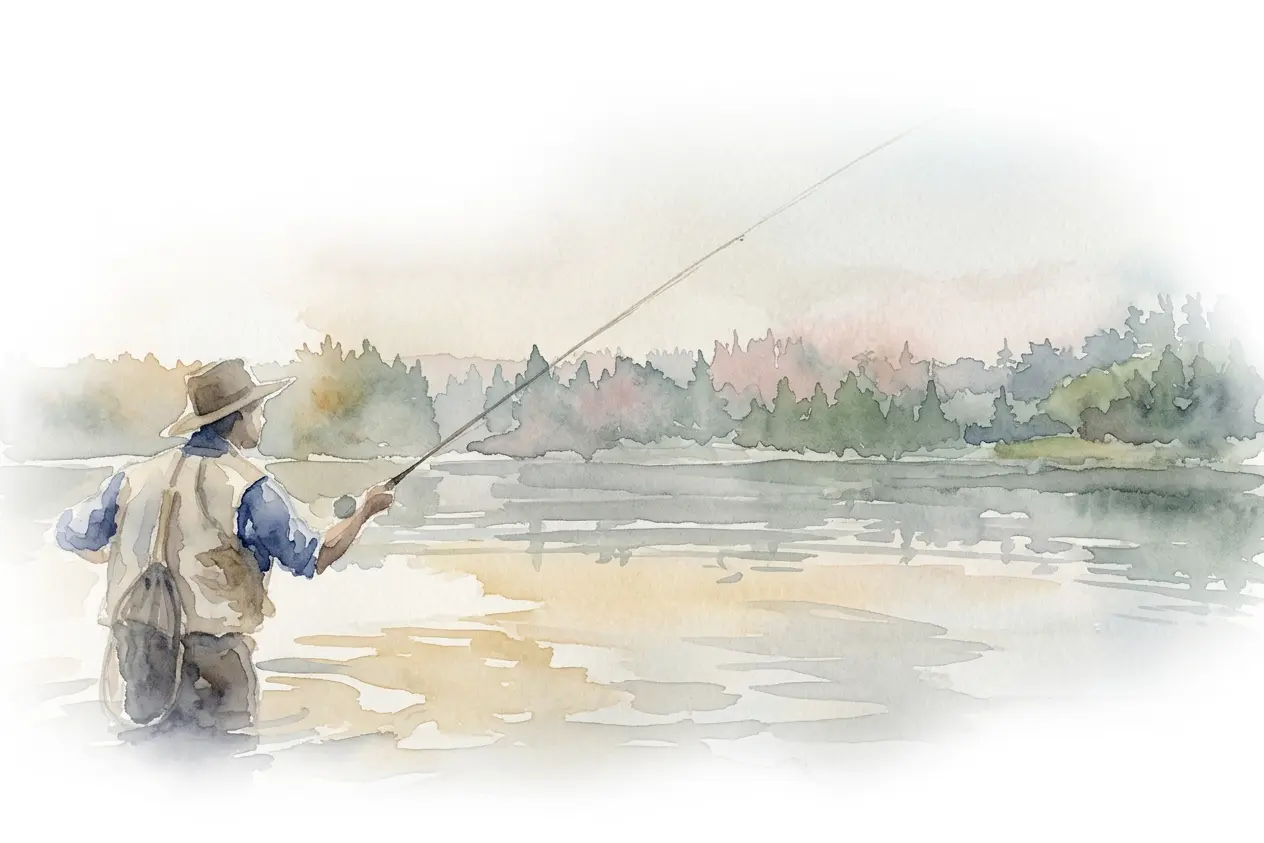
Open a fishing spot to see the hours that look good, the species that hold on that pin, and the gear to use for the method you fish.
Explore our mapAlways free.
As seen on


Peak
Peak and active months for that species at that spot.
24%
Monthly water climatology on that pin from the parent water.
22 %
How common the fish species is on that pin.
16%
How well that fishing technique works on that species.
7%
Whether this water matches where the species actually holds.
How the spot is shaped relates to how species behave.
65
%
The species sets the ceiling. Up to 65% of each hour moves with light, moon, tide and weather. Missing facts use a cautious default.
Your tackle is useful to pack. It does not move the number.
From the team
I fish with the same score we ship. Missing facts are dropped, not filled in.
Hour scores come from season, water, and live weather. If a fact is missing, it is left out.
Abundance is on that pin, not a country average.
I open a spot, lock a method, and the plan is ready for that day.

Dicentrarchus labrax
434 spots

Cyprinus carpio
679 spots

Salmo trutta
968 spots
We have a dataset of every scientifically documented species. Just learn.
View all speciesLock a technique on a spot and the plan updates. Method is 16% of the session.
Spots, waters, species, and gear — published when we can stand behind them.
We collect known fishing locations only when they have valid coordinates and a clear connection to the water. Entries without a trustworthy pin stay out of the map.
We check where the pin belongs, connect it to the right municipality and water, and confirm the nearby place name. The name anglers see must describe the real location, not a generic label or a guess.
We keep the identity, aliases, access details, known species, and page copy together around each pin. Only active spots with complete location and language information are published; optional facts wait until they can be verified.
We organize every named river, stream, canal, lake, reservoir, lagoon, pond, bay, estuary, wetland, and sea as its own water record. Each receives a clear type; unknown types remain unset rather than being forced into the wrong category.
Each water keeps the facts shared by the spots along it: its type, connected places, related waters, species, and typical conditions. A spot inherits those facts and only changes what is genuinely different — for example, a harbour on a river.
Water temperatures are managed month by month and checked against the wider water system and nearby waters with similar conditions. Verified values stay protected, and a missing value never becomes a convenient guess in the forecast.
We organize rods, reels, lines, leaders, hooks, lures, baits, rigs, and accessories into clear types and sizes. Every recommendation starts from the same controlled catalog, so each item means the same thing wherever it appears.
Each species links fishing methods to suitable baits and lures. For the selected plan, we use an accepted typical catch weight — or a conservative estimate from known length — to size the line, rod, and reel together.
Gear does not improve the forecast on paper. We assess the conditions and technique first, then assemble a balanced kit for the plan you choose.
We add a species when it is connected to a real fishing place. Its identity and core facts are checked first, including size, body shape, habitat, and depth, so incomplete profiles stay out of the public guide.
We then add the fishing details anglers need: active months, feeding windows, methods, baits, lures, and typical catch size. Anything uncertain stays empty or under review instead of being presented as fact.
At each spot, the species profile is combined with local presence, season, water conditions, habitat, method, and changing conditions through the day. If a detail is missing, it is left out rather than guessed.
Blog
Knots
Knots
Knots
Knots

Knots
Gear

Knots
Knots